Designed to provide the most intuitive yet powerful Waypoint mission functionality, it comes with all the features you’ve always wanted
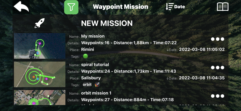
- Waypoint Mission
- GPS Follow / Track ME
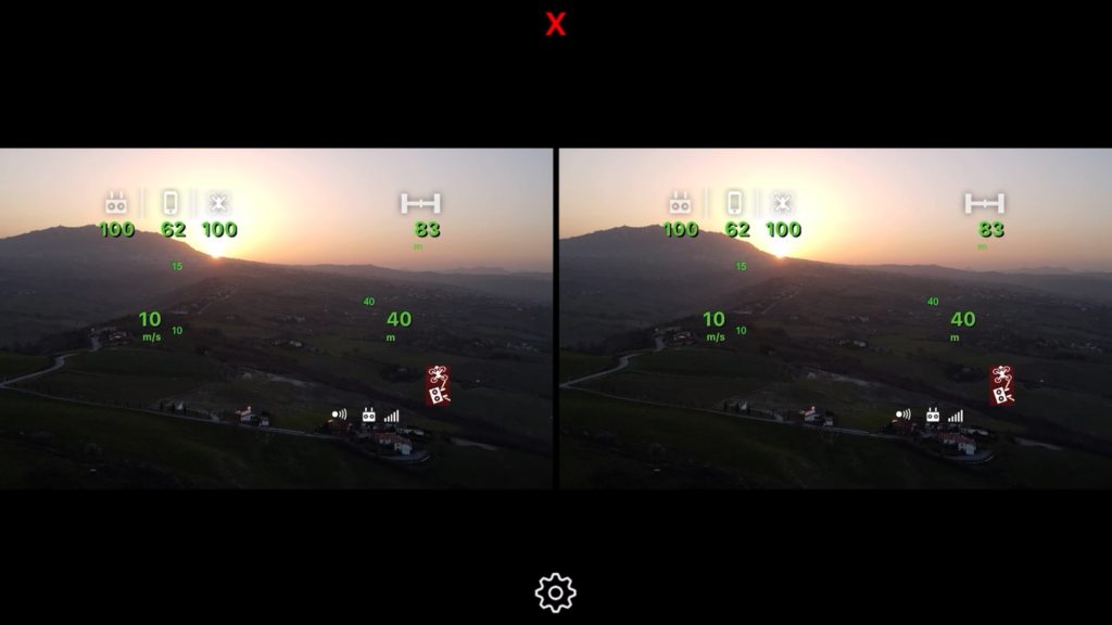
- VR with Head Tracking
- Polygonal Geofence
- Headless Modes (Course Lock, Home Lock)
- Cable Cam
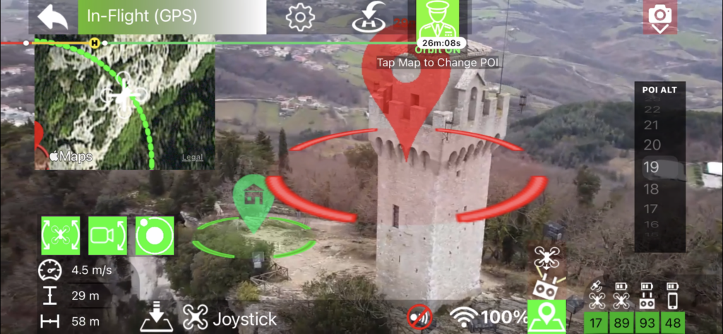
- Automatic Orbit
- Spotlight
- and much more

what is the difference between Maven and Maven Lite? (click here)